


MOUNT VICTORIA
Mount Victoria is at the top of the Blue Mountains. While the heights above sea level on road signs show Blackheath to be the highest, the town heights recorded are generally the heights of the railway stations, the highest point is actually in Mount Victoria.
The town is now heritage listed and hosts many historic buildings. Step back in time as you enter this wonderful little Blue Mountains Village.
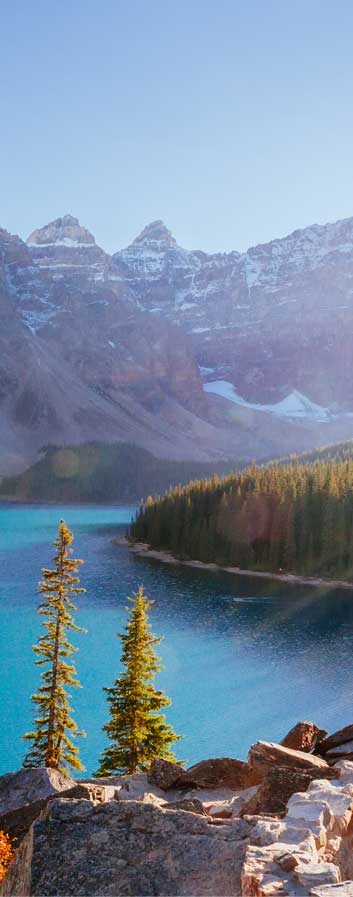
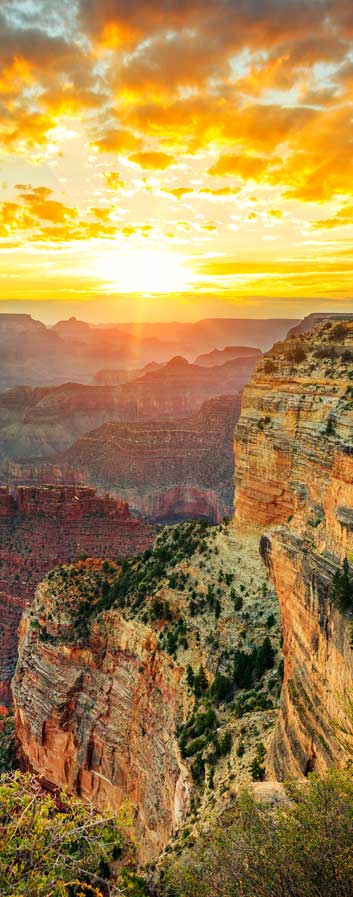
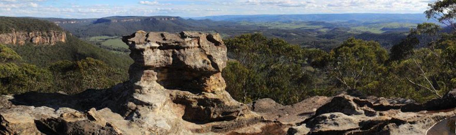
As you enter Mount Victoria from Blackheath you will pass Browntown Oval on your left. The next street to the right is Victoria Falls Road which leads to Victoria Falls Lookout. On the south side of the highway drive up Mt. Piddington Road to highest point in the Blue Mountains ‘One Tree Hill’ and Mount Piddington within Fairy Bower Reserve. From here you can take the walking track to Hornes Point.
Also on the south side of the highway, a drive down Kanimbla Valley Road takes you to Mount Victoria’s Pulpit Rock and Bede’s Lookout overlooking the Kanimbla Valley.
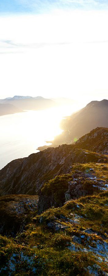
Nearby you will find Cox’s Cave, Ross Cave and Bushranger Cave. Lookouts further north include Sunset Rock Lookout down Grand View Road overlooking Wilson’s Gully, and Mitchell’s Ridge overlooking Victoria Pass and the Greater Lithgow area.
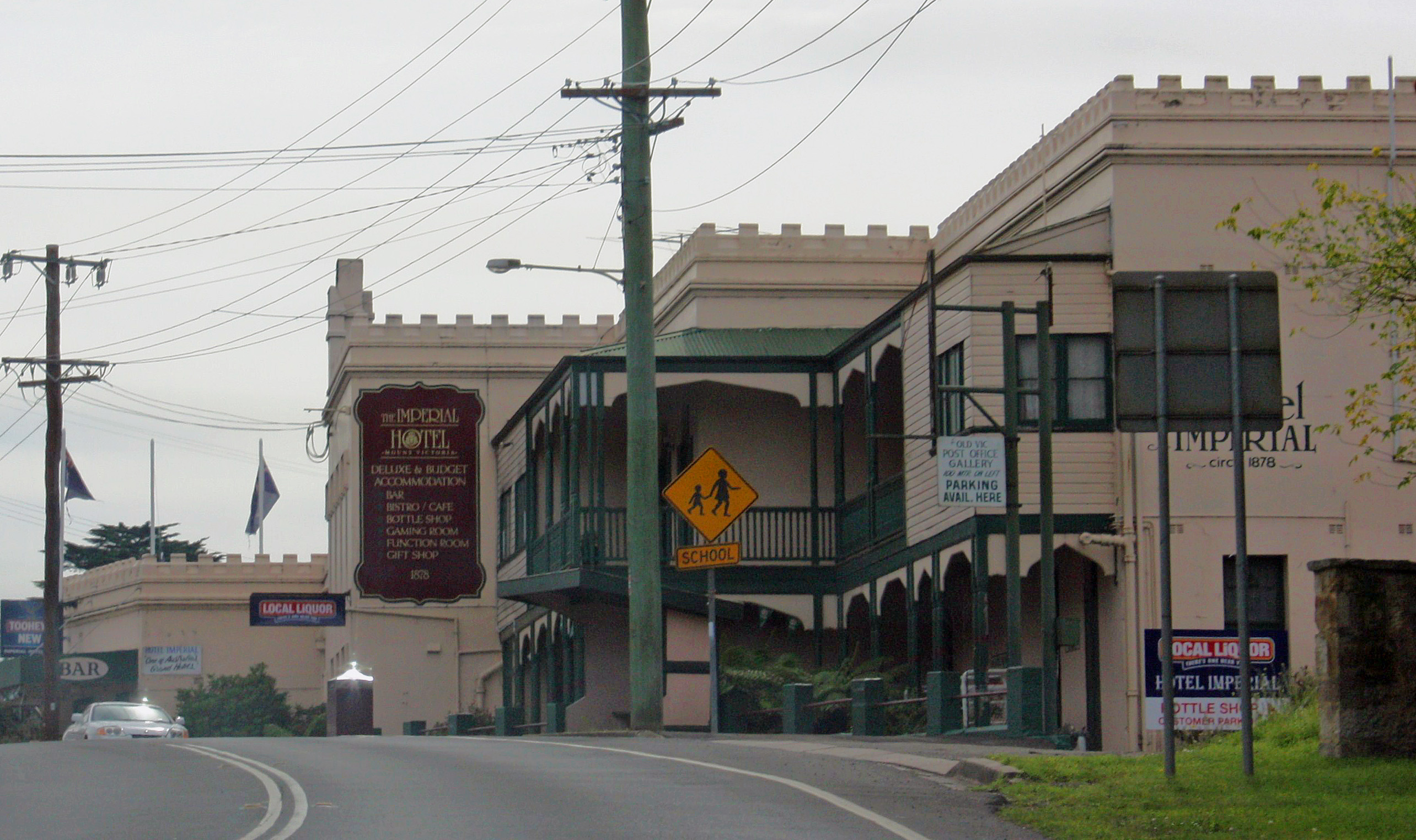
Back in the centre of town you will find many grand hotels, the old Post Office, the Gatekeeper’s Cottage and Toll Bar House. Toll Bar Houses were built across the Blue Mountains. Fortunately one of these sandstone buildings still remains today.
"The Old Toll Bar House" is located at Mount Victoria and was built in 1849. On the corner of Station Street and the Great Western Highway you will find the historic Hotel Imperial and Mount Victoria Park.
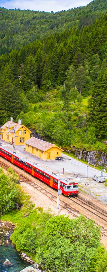
Further down in Station Street is the Mount Victoria Museum which was once part of Mount Victoria’s railway station used as a refreshment room. The museum features a range of old furniture, musical equipment and household items as well as many other interesting items and historical information.
If you continue along Station Street the road changes to Darling Causeway which leads you through to Bell and Bell’s Line of Road.
Mount Victoria also hosts one of the Blue Mountains treasured cinemas. Mount Vic Flicks is the local cinema for the upper mountains with its own unique old fashioned style, (a complete contrast to the ultra modern giant screen cinema experience of The Edge cinema in Katoomba). The cinema operates in the local community hall. The building does not have a foyer and there is a single person ticket box at the front entrance. Once you open the front doors, you enter the cinema auditorium. The seats are older style, yet comfortable on a flat floor with great sight lines to the screen. Located at the front of the auditorium is the cinema candy bar which is only open prior to the show. While the cinema has its own country feel, the image on the screen is clean and bright with a professional presentation.

On the north of the highway west of the centre of town is Mount York Road. This road will take you to Mount York where you can see some of the original Cox’s Road. At Mount York Lookout you will be amazed to view the sheer drop to the Hartley Valley which you can enter via a walking track which starts at this point. You will also find a monument for several early explorers who arrived at this point.
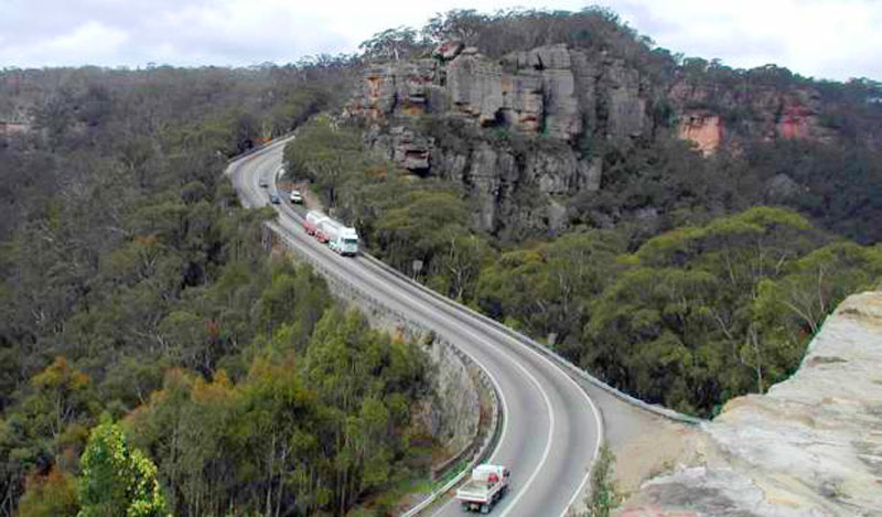
Back on the Great Western Highway travelling west you will reach Victoria Pass. In 1832 Major Mitchell built a road from Mount Victoria to Hartley to replace the dangerous grades of Bathurst Road built by William Cox. This new road made it possible to travel safely via horse-drawn vehicles. However, not foreseeing some 72 years into the future in 1904, the first motor car to travel down Victoria Pass required the assistance of a horse to be able to get back to the top.
When the railway line came through to the village, the town was given the name of Mount Victoria in 1868 after the young Princess Victoria, however, it was originally mapped by surveyor General Thomas Mitchell as ‘One Tree Hill’.